


October 13, 2022
These D.C. Art Installations Point to More Than High Water Marks
For their first two installations, Curry J. Hackett (top) and Patrick McDonough (bottom) conducted research to determine which Washington, D.C., neighborhoods most needed their bold, friendly reminders, selecting Marvin Gaye Park and Kingman Island, serving predominantly Black neighborhoods along tributaries to the Anacostia River.
“Architects are always talking about climate change, but those conversations get mired in credentials, performance, or LEED certifications—like the conversation is being had on behalf of the public, without the public. What we’re trying to do is engage them directly and offer an incentive to make choices,” Hackett says. Freedom to select the sites (the first two totems are in Marvin Gaye Park and Kingman Island, predominantly Black neighborhoods) got McDonough and Hackett envisioning a gradual expansion of the program throughout the city’s entire 100-year floodplain. “That,” Hackett says, “is a different kind of agency.”
Would you like to comment on this article? Send your thoughts to: [email protected]
Latest
Projects
Is Structural Stone the Key to Decarbonizing the Built Environment?
Architects in the UK, France, and India are reevaluating stone’s potential as a strong, fireproof, and low-carbon building material.
Viewpoints
3daysofdesign 2026: Vibe Over Spectacle
This year’s 3daysofdesignbypasses the frivolity of its counterpart to focus on fresh innovations in adaptability and sustainability and how they might be introduced within our interiors
Projects
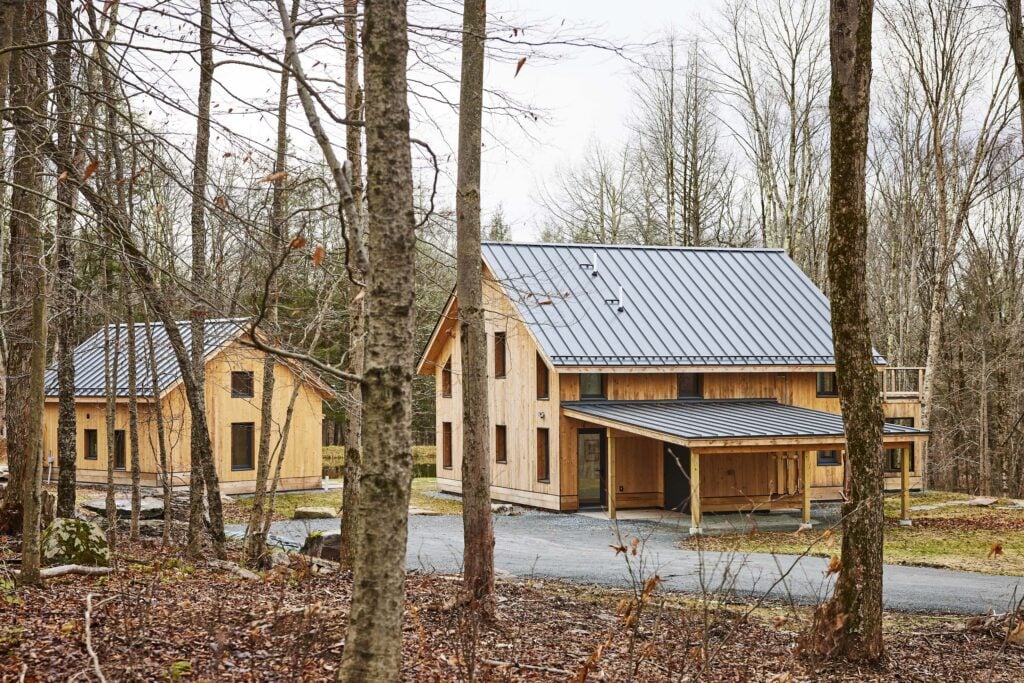
Building New York’s First Passive House Community
The Catskill Project is a 90-acre community of carbon neutral homes designed with residents’ health and wellbeing in mind.